Congratulations to the project team and sponsors on the successful completion of Amira Global Project P1204: Developing UAV Mounted Geophysical Sensor Arrays!
The 10-month project wrapped up recently, delivering outcomes on future potentials of UAV-borne geophysics to the 18 company sponsors. The public report from this research will be available to non-sponsors in coming months.
Amira Global Program Manager Technology and Innovation Dr Olga Verezub thanked the team, sponsors, and solution providers for their contributions.
The project was led by Dr Jan Francke from International Groundradar Consulting Inc, with research provided by Prof James Macnae (RMIT), Dr Brian Minty (Minty Geophysics), Dr David Clark (CSIRO), Prof Giles Hammond (The University of Glasgow), Dr Michael Hussey (Mineral Spectra Mapping), Prof Roberto Sabatini (RMIT), Mr Theo Aravanis (Arrow Geosciences), and Mr Tom Pils (The Drone Lawyer).
“Many thanks to the team of amazing researchers and sponsors who went on this journey with us and were passionate, courageous and visionary to explore the future of sensors and UAVs beyond tomorrow,” Dr Verezub said.
P1204 project sponsors were: BHP, Rio Tinto, Clean TeQ, Iluka, Freeport, MMG, Newmont, IGO, FQM, Newcrest, Spectrem Air on behalf of Anglo Group, Teck, Vale, Fortescue Metals Group, Transparent Earth Geophysics, New Resolution Geophysics, Boeing, and Consilium Technology.
P1204 overview
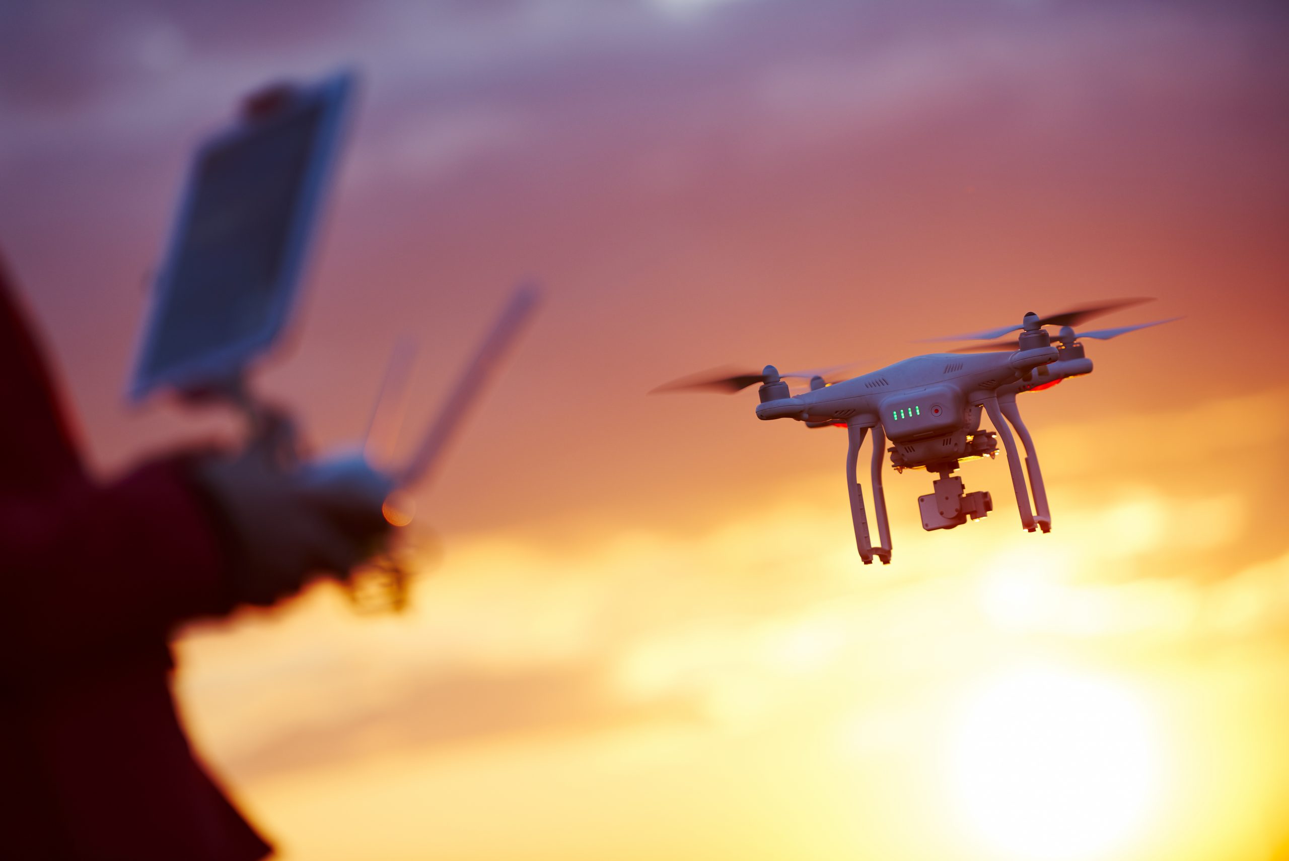
Over the past decade, the use of unmanned aerial vehicles (UAVs) has evolved from military tools to hobbyist test beds to lucrative commercial enterprises for geospatial mapping. Today, the commercial UAV market is growing exponentially, with new types of crafts, power plants and sensors extending their applications daily.
Although the most common applications are associated with acquiring aerial images for mapping or inspection of dangerous sites, the miniaturisation of geophysical instruments has enabled some, including magnetics, VLF and GPR sensors to be mounted in UAVs.
UAVs offer significant advantages for geophysical surveying over traditional ground and manned aircraft surveys, including access to challenging environments, higher point density, potentially lower cost per data point, and the ability to collect data from multiple locations simultaneously with multiple sensors.
Amira’s P1204, Developing UAV-mounted Geophysical Sensor Arrays, as proposed by industry, gathered a panel of international experts in geophysical instrumentation, UAV design and laws related to their use as well as potential end users, to explore the state-of-the-art and future potentials of UAV-borne geophysics. Specifically considered were sensors related to radiometrics, hyperspectral imaging, gravimetry, magnetometry, electromagnetics and ground penetrating radar (GPR).
Collaborate to succeed: Dr Jacqui Coombes
Amira Global CEO Dr Jacqui Coombes said collaboration and combined efforts were key to the project’s success.
“Spanning the globe and the minerals ecosystem, 18 sponsor organisations, and eight solutions providers and researchers have come together to investigate, explore and contemplate the great challenges that surround UAV-mounted geophysical sensor arrays,” Dr Coombes said.
“The investigation was born by a concept shared by Theo Aravanis (Arrow Geosciences and formerly Chief Geophysicist for Rio Tinto). We are delighted that Theo shared his ideas and the challenges around the concepts with us.
“This study has gathered international experts in geophysical instrumentation design and miniaturisation, in addition to UAV professionals, to explore the present and future potential of UAV-borne geophysical surveying. Beyond the use of individual UAVs to carry single geophysical transmitters or sensors, the potential applications using fleets of drones was also considered.
“Amira Global is appreciative of the shared intellect, creativity and deep knowledge of the collaboration between all involved.”
#FutureResources; #Innovation; #Projects
